by Tom Gurney
Tom Gurney BSc (Hons) is an art history expert with over 20 years experience
Email: tomgurney1@gmail.com / Phone: +44 7429 011000
Reading Baroque Urban Planning
Baroque urban planning coordinates movement, vista, monument and public space into a deliberately dramatic sequence. Long streets frame churches or palaces; obelisks and fountains mark nodes; squares open after narrow approaches; radiating avenues extend court architecture into garden and town. The effect is experienced bodily, through changing view, rather than only as geometry on an aerial plan.
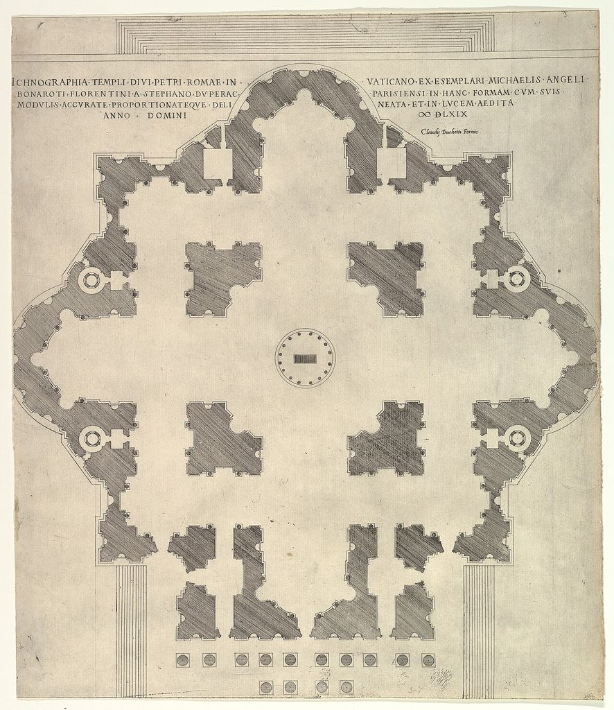
Historic plan of St Peter's and its urban setting. In “Reading Baroque Urban Planning”, this plan records the form, material and setting discussed in the passage. Source image dated 1569; that date records the image, not the original construction. Étienne Dupérac / Claude Duchet, Historic plan of St Peter's and its urban setting; CC0. Resized proportionally; no crop, retouch or upscaling.
The category brings together seventeenth- and eighteenth-century projects in papal Rome, royal Versailles, ducal Nancy and other European centres. Their forms can be compared, but their politics are not identical. Most were selective interventions in inherited cities, not total plans imposed in one campaign.[1]
At a Glance
- Meaninga retrospective label for urban interventions using route, node, vista, coordinated façade and ceremonial movement.
- Frequent elementsstraight or radiating streets, linked squares, obelisks, fountains, stairs, palace courts and monumental endpoints.
- How it worksarchitecture appears, disappears and changes scale as a person approaches.
- Political settingspapal, royal, ducal and civic patronage require separate explanation.
- Essential cautionnot every straight street is Baroque, and formal coordination never guaranteed complete political control.
Contents
Sequence before aerial pattern
Baroque space is often illustrated by plan: arrows, stars and axes appear decisive. At street level, enclosure and revelation make those lines meaningful. A dome glimpsed above roofs guides movement before the façade is visible. An obelisk marks a distant crossing. A narrow street opens suddenly into an oval piazza.
The pedestrian or carriage experiences time. Approaching a curved colonnade differs from seeing its shape overhead. Stairs change eye height. Fountains add sound before sight. Processions activate routes ceremonially.
Architecture frames motion. Similar façades can bind an irregular square. A palace forecourt directs arrival. Repeated lamps and planting extend perspective. The plan is a score; occupation performs it.
Modern photography from empty dawn hours can erase traffic, vendors and ritual. Historical interpretation needs actual use as well as compositional intention.
Counter-Reformation Rome
Papal Rome is central to Baroque urban history, but it did not emerge from one master plan. Cambridge scholarship on planning Counter-Reformation Rome describes successive interventions that connected basilicas, pilgrimage routes and monuments.[1]
New and improved streets aided movement among sacred sites. Obelisks provided visual markers and appropriated ancient material into Christian papal order. Fountains combined water supply, public amenity and dynastic display.
The city’s inherited topography, ruins, property and neighbourhoods constrained work. One pope’s project met another’s. Some lines remained incomplete. The resulting network is layered rather than perfectly controlled.
Pilgrimage makes the routes religious and logistical. Large crowds needed orientation and water. Ceremonial entries required spectacle. Reform architecture addressed bodies moving through the city.
Obelisk, fountain and node
An urban node gathers routes and attention. The obelisk’s height makes it visible above crowds and from connecting streets. Its ancient origin can be reinscribed through Christian symbols and papal heraldry.
Fountains make infrastructure monumental. Aqueduct restoration brings water; basin and sculpture distribute it publicly; inscription credits the patron. Hydraulic and representational systems coincide.
A node can redirect the city without rebuilding every block. Aligning a new street to an existing monument changes approach. Placing a fountain at an awkward intersection gives it centre.
These objects also regulate activity. Water collection, market and carriage movement coexist. Later traffic islands can isolate a monument that once belonged to pedestrian space.
Piazza, façade and stair
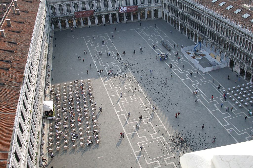
Baroque squares take varied shapes—oval, trapezoid, elongated or irregularly regularised. Coordinated façades and paving can produce unity across multiple properties. Colonnades make permeable edges. The Italian piazza has a civic history longer than the Baroque interventions that transformed particular examples.[5]
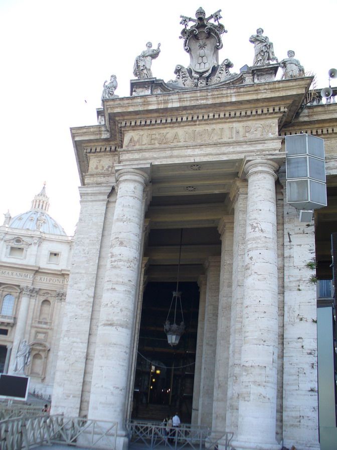
Roma - Piazza San Pietro - Colonnade dorice - panoramio. Roma - Piazza San Pietro - Colonnade dorice. In “Piazza, façade and stair”, this view records the form, material and setting discussed in the passage. Source image dated 2007; that date records the image, not the original construction. jeffwarder, Roma - Piazza San Pietro - Colonnade dorice - panoramio; CC BY-SA 3.0. Resized proportionally; no crop, retouch or upscaling.
The Spanish Steps later connect levels and routes through a theatrical urban stair. Piazza Navona adapts the long form of an ancient stadium with fountains and façades. St Peter’s Square organises approach, gathering and papal ceremony through Bernini’s colonnades.
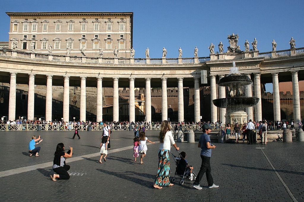
0 Palazzo Apostolico - Piazza San Pietro (1). The "Antic Fountain" by Carlo Maderno , the northern colonnade by Bernini and the Apostolic Palace - Saint Peter's Square in the Vatican City. In “Piazza, façade and stair”, this view records the form, material and setting discussed in the passage. Source image dated 2011; that date records the image, not the original construction. Jean-Pol GRANDMONT, 0 Palazzo Apostolico - Piazza San Pietro (1); CC BY-SA 3.0. Resized proportionally; no crop, retouch or upscaling.
Each example needs its own patronage and chronology. “Theatrical” describes sequence and address, not a claim that urban life was unreal. Actual worship, water use and commerce occupied these spaces.
The façade can conceal older fabric. Baroque coherence may be skin-deep in a constructional sense while profoundly changing public perception.
Versailles: palace, garden and town
Versailles extends axial thinking across architecture, landscape and urban approach. UNESCO recognises palace and park as an ensemble; official histories document campaigns.[2][3]
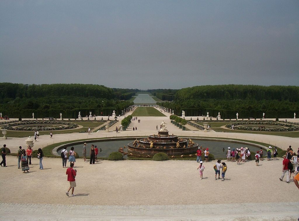
Three avenues converge on the palace from the town side. On the garden side, the principal axis proceeds through fountains and canal towards the horizon. The royal residence appears as hinge between town and territory.
Cross-axes and bosquets complicate the dominant line. Court movement is hierarchical. The town served palace administration and supply, while garden spectacle depended on water engineering and labour.
Calling the whole “absolute power in plan” captures part of the political image but hides limits, phases and daily systems. The geometry was ambitious precisely because reality required continuous maintenance.
Nancy: linked urban rooms
Place Stanislas, Place de la Carrière and Place d’Alliance in Nancy form a linked eighteenth-century ensemble recognised by UNESCO.[4] Gates, aligned façades, ironwork and axes connect ducal and civic spaces.
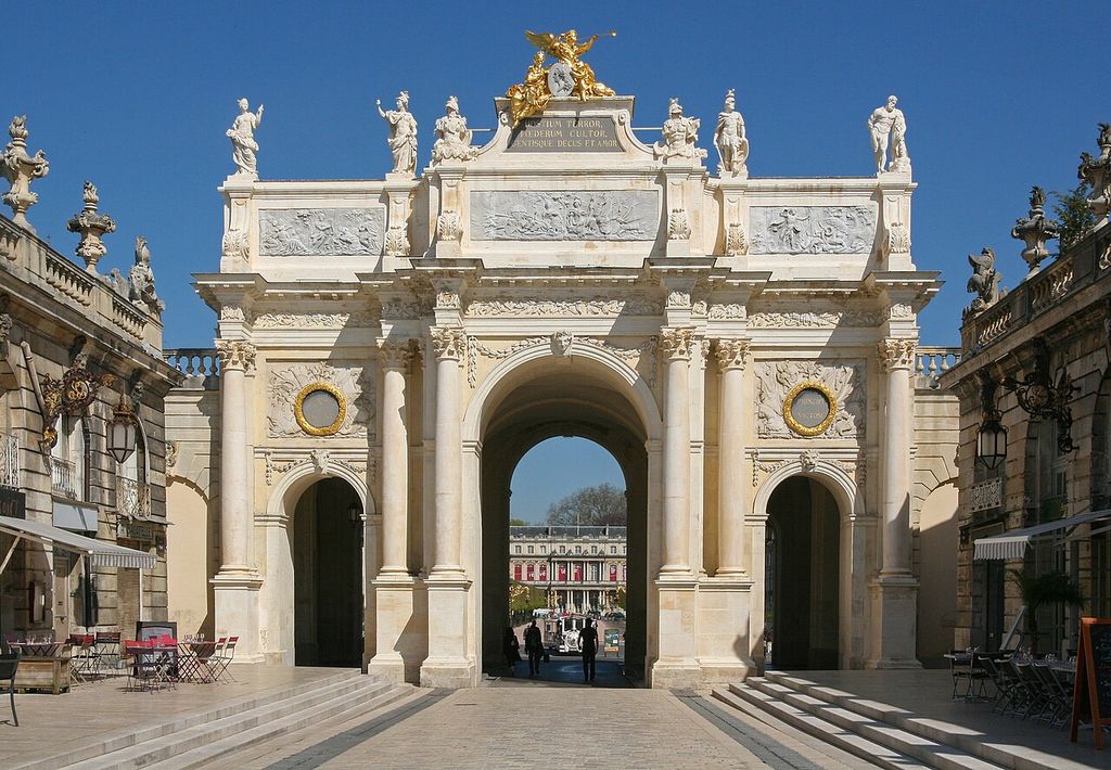
Arc Héré, Place Stanislas, Nancy. Arc Héré, at the north side of Place Stanislas in Nancy, France. In “Nancy: linked urban rooms”, this view records the form, material and setting discussed in the passage. Source image dated 2013; that date records the image, not the original construction. Clément Bardot, Arc Héré, Place Stanislas, Nancy; CC BY-SA 3.0. Resized proportionally; no crop, retouch or upscaling.
Rather than one immense square, Nancy offers sequence. A visitor passes between differently proportioned rooms. Architecture coordinates edges while passages preserve movement.
The project joined an older and newer town and represented Stanisław Leszczyński’s patronage within a changing political order. Local history matters; it is not a small Versailles.
Current traffic control, events and conservation influence how the sequence is experienced. Restored paving and façades preserve form while public uses evolve.
Street opening, property and demolition
A straight ceremonial route must pass through real parcels. Construction can require purchase, expropriation and demolition. Costs limit completion. Residents and institutions negotiate.
The plan often represents the new line cleanly, making removed fabric visually disappear. Historical mapping restores that cost. Street names, plot remnants and irregular junctions reveal compromise.
Opening can improve circulation, light and access. It can also displace poor residents or redirect commercial value. Both effects may occur.
Baroque planning therefore belongs to administrative and financial history. Surveyors, water engineers and legal officers are as important as façade architects.
Papal, royal and ducal power
Similar spatial devices communicate differently. Papal Rome links pilgrimage and Christianised antiquity. Versailles stages monarchy and court. Nancy negotiates ducal representation and civic connection.
Power is not read directly from symmetry. A regular square can serve market and festival; an irregular route can be tightly policed. Institutions and ceremonies give geometry political content.
Patronal emblems and inscriptions identify claims. Processional protocols show who moved centrally and who watched. Maintenance budgets reveal capacity.
Public appropriation can alter meaning. A royal square becomes a site of protest or everyday leisure. The architecture outlives its commissioning regime.
Baroque and the wider world
European empires carried Baroque religious and civic forms to Latin America, Asia and elsewhere, where Indigenous, African and local builders transformed them. Colonial grids, plazas, churches and processional routes belong to histories of coercion and cultural production.
They should not be treated as provincial copies of Rome. Local materials, topography, labour systems and devotional practice change architecture. Existing Indigenous settlements and routes may persist beneath colonial plans.
Portuguese and Spanish terms, archives and local scholarship are necessary for specific examples. This overview does not claim a complete global survey from European sources.
The transregional history also flows back through materials, wealth and images. Baroque metropolitan projects depended on imperial economies.
From Baroque vista to City Beautiful
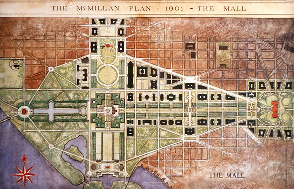
Nineteenth- and early twentieth-century planners studied Rome, Versailles and Parisian boulevards. City Beautiful inherited axes, civic ensembles and monumental nodes through Beaux-Arts education.
Formal influence does not make City Beautiful politically Baroque. The American movement operated through Progressive reform, business coalitions and professional commissions. Its classical malls served another institutional world.
Haussmann’s Paris also transformed the long urban vista through modern infrastructure, expropriation and speculation. It belongs to a later planning system even where it extends Baroque effects.
Tracing devices separately—axis, node, façade, square—prevents style from becoming a vague label for all monumentality.
How to read a Baroque intervention
- Reconstruct the inherited city before the project.
- Map routes, nodes, endpoints and cross-connections.
- Walk the sequence and record appearances over time.
- Identify patron, institution, ceremony and inscription.
- Trace water, transport and other infrastructure.
- Record property acquisition, demolition and incomplete work.
- Distinguish original campaign, later completion and modern traffic.
- Compare similar forms only after local politics are established.
Section matters where stairs, terraces and domes guide view. Sound and crowd matter where fountains and procession animate space.
Conservation of a moving urban experience
Preserving a façade is not enough if traffic severs the square, signage blocks the vista or access routes disappear. The sequence itself is heritage.
Pedestrianisation can recover movement and gathering but must support residents and trade. Security barriers can disrupt axes. Night lighting can reveal architecture while changing colour and energy use.
Fountains need water and stone conservation. Obelisks and statues face pollution. Coordinated ensembles require multiple owners to maintain compatible materials without freezing use.
Climate adaptation brings shade and drainage into historically open spaces. Trees can improve comfort while altering intended views. Design decisions should state which significance and public need they balance.
Baroque urban planning is finally an art of connection. It makes routes visible through monuments, turns infrastructure into civic image and composes arrival across time. Its grandeur becomes historically accurate only when inherited fabric, labour, demolition and later public life remain visible beneath the vista.
Sixtus V's Rome: routes across inherited ground
Late-sixteenth-century interventions under Sixtus V connected major basilicas and pilgrimage destinations through long streets and marked nodes. The programme associated with Domenico Fontana worked across ancient, medieval and contemporary Rome rather than on vacant land.[1]
Obelisks made distant points visible and invested papal Christian space with appropriated antiquity. New routes aided movement, but topography and existing ownership prevented a perfectly abstract network. The plan must be read as a sequence of realised and proposed connections.
This period overlaps conventional Renaissance and Baroque labels. Its importance lies less in deciding a stylistic boundary than in seeing how routes, monuments and papal administration combined at city scale.
Piazza San Pietro: approach, embrace and control
Bernini's colonnades create an oval gathering space before St Peter's while mediating the irregular surroundings and the basilica's long façade. The visitor passes through compressed openings into a wider field; rows of columns alternately appear solid and transparent as the body moves.
The famous metaphor of embracing arms conveys Counter-Reformation welcome, yet the square also organises ceremony, crowd and authority. Its central obelisk and fountains establish measured points. Access routes have changed, especially with later urban interventions beyond the piazza.
An aerial photograph reveals geometry but misses the shifting columns and bodily scale. Baroque planning works through movement and controlled revelation.
Water and the Roman node
Fountains mark junctions, terminate aqueduct routes and create civic spectacle. Water announces papal provision while sound and spray transform hot streets. Hydraulic infrastructure and iconography are inseparable.
The Trevi Fountain is often treated as an autonomous monument, yet its power comes from the compressed approach and sudden opening of a small urban space. The façade occupies an edge rather than the centre. Tourism now changes that sequence through crowd control and photography.
Maintenance of water quality, pumps and stone is planning history continued. A dry fountain preserves sculpture but loses an urban function; unrestricted access can damage the fabric that enables public encounter.
Versailles: three axes, one court landscape
Versailles extends axial order from palace through garden and towards town, but the relationship is more complex than one straight line.[2] The palace acts as hinge between an outward-looking royal city and an immense controlled landscape.
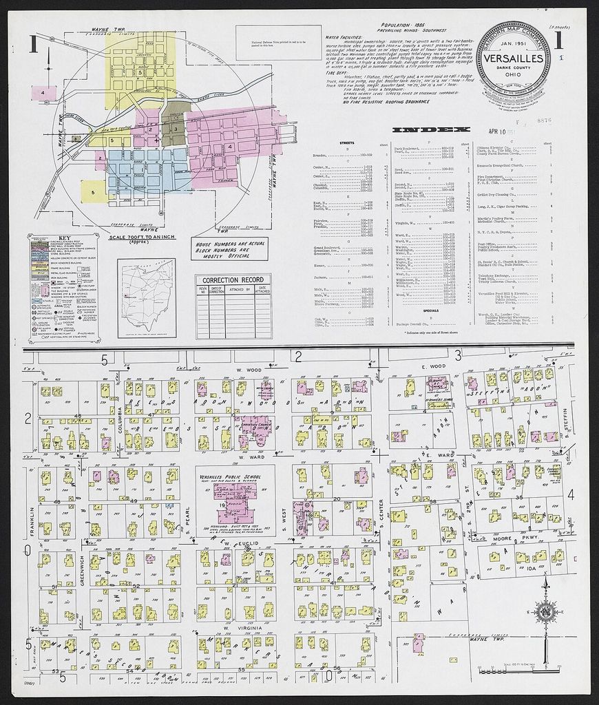
Versailles town three avenues aerial. Digitization was supported by an Ohio History Fund grant. In “Versailles: three axes, one court landscape”, this map records the form, material and setting discussed in the passage. Source image dated 1951; that date records the image, not the original construction. Creator not identified in the source record, Versailles town three avenues aerial; Public domain. Resized proportionally; no crop, retouch or upscaling.
Roads converging on the forecourt stage arrival. Within the garden, cross-axes and bosquets complicate central dominance. Service settlements and water infrastructure support the image while occupying less celebrated geographies.
Royal power is made spatial through controlled approach and prospect. Yet development occurred by campaigns, and later urban life adapted the planned framework. The diagram was powerful because it could organise change, not because it remained untouched.
Nancy: linked squares and ducal strategy
The ensemble at Nancy joins Place Stanislas, Place de la Carrière and Place d'Alliance through gates, axes and architectural edges. Different open spaces become a processional sequence rather than one oversized square.
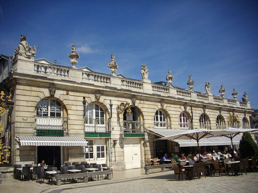
Nancy - 5 place Stanislas. Building at 5 Stanislas square in Nancy (Meurthe-et-Moselle, France). In “Nancy: linked squares and ducal strategy”, this view records the form, material and setting discussed in the passage. Source image dated 2012; that date records the image, not the original construction. Fab5669, Nancy - 5 place Stanislas; CC BY-SA 3.0. Resized proportionally; no crop, retouch or upscaling.
Gilded ironwork, fountains and coordinated façades turn boundaries into spectacle. The project connected older and newer urban areas while expressing the position of Stanisław Leszczyński within French and ducal politics.
The sequence demonstrates that Baroque planning can be compact. Monumental effect comes from changing enclosure and carefully aligned openings, not only from territorial scale.
Property, demolition and the unseen ledger
Straight streets and enlarged squares required land. Survey, purchase, compulsory action and compensation translated royal or papal desire into parcels. Residents could benefit from access and commerce or lose homes and livelihoods.
Façade controls sometimes produced an ordered public edge while retaining irregular private buildings behind it. The visual city and cadastral city diverged. Mapping both reveals the limits of central authority.
Construction was also paced by finance. Unfinished schemes and temporary clearances are part of the history, even if later drawings present the whole as inevitable.
Beyond Europe: comparison without projection
Monumental axes and ceremonial squares appear in many cultures, but “Baroque” is a historically European category tied to particular church, court and artistic networks. Applying it globally solely because a space is dramatic or axial erases local language.
European colonial planning did carry Baroque-derived forms abroad, where they were transformed through military, missionary and administrative power. The connection should be demonstrated through patrons, designers and institutions.
Conversely, European designers learned from objects, reports and spatial practices beyond Europe. Exchange did not occur on equal terms. A global history should trace routes rather than collect look-alikes.
Conservation of a choreographed city
Protecting façades is insufficient when traffic severs an axis, signage blocks a terminal monument or vegetation closes a designed view. The heritage unit includes route, pace, node and changing enclosure.
Present cities also need shade, transit, housing and protest space. Freezing a ceremonial plan around elite power can exclude contemporary public life. Reversible street design and careful view management can allow new uses without dissolving the sequence.
The best test is experiential: can people still understand why the route turns, where the view gathers and how one urban room releases into the next? Baroque planning survives in that movement.
Festival architecture and the temporary city
Royal entries, canonisations, funerals and religious festivals dressed streets with arches, lights, inscriptions and platforms. These temporary works could test alignments and establish meanings later associated with permanent Baroque space.
Festival books are seductive sources. Their engravings regularise views and magnify patronal order. Accounts, routes and surviving fixing scars help distinguish event from ideal representation.
The temporary city also depended on crowd management and labour. Carpenters, painters and performers remade public space for a short political moment. Their work belongs to urban history even when nothing survives above ground.
Light, dusk and the terminal view
Baroque sequences were experienced at changing hours. A sunlit façade could terminate a route; lanterns and candles activated fountains and ceremonies after dark. Window illumination made private architecture part of public display.
Modern floodlighting often illuminates every monument equally, weakening hierarchy and increasing glare. A lighting plan can preserve dark intervals and reveal the sequence rather than treating the city as a collection of isolated objects.
Energy and ecological constraints make this more than aesthetics. Selective light may recover historical drama while reducing impact.
Tourism and the compressed route
Coaches, queues and phone navigation change approach. Visitors may arrive directly at a square that was designed as the culmination of streets. Crowd barriers protect monuments but interrupt cross movement.
Interpretation can restore sequence through mapped walks and timed alternatives, yet the city must continue serving residents. Diverting all ordinary traffic for an idealised heritage promenade may move congestion into less protected neighbourhoods.
The conservation unit is therefore metropolitan as well as visual. A Baroque route survives most meaningfully when ceremonial legibility and everyday circulation are negotiated together.
Cartography as propaganda and project management
Engraved city views presented streets and monuments as coherent systems. They advertised papal or royal transformation and circulated it internationally. Their elevated viewpoints could reveal alignments no ordinary visitor saw.
Survey plans also coordinated acquisition and engineering. The same medium could be practical and persuasive. Scale, omissions and publication context distinguish their evidential roles.
Comparing plan with dated construction prevents an unbuilt line from entering history as achieved urban form. It also reveals how later rulers claimed credit by republishing earlier work.
The residence beyond the façade
Baroque street control often concentrated on public elevations. Behind a repeated façade, irregular plots and older structures could persist. Residents adapted courtyards, stairs and workshops to a new official edge.
This layered section explains how rapid visual transformation was possible without complete rebuilding. It also shows that urban order was negotiated through property.
Conservation that protects only the façade can destroy this evidence through interior amalgamation. Plot and building depth belong to the Baroque city.
Disability and the monumental route
Steps, cobbles, steep streets and vast crossings can make celebrated sequences difficult to use. Accessibility interventions should analyse the whole route rather than add an isolated ramp at the final monument.
Alternative gradients, resting points and shared-surface management can preserve movement and view. Digital interpretation helps but should not become an excuse to exclude physical access.
Baroque planning sought bodily effect. Enabling more bodies to experience that sequence is compatible with its architectural significance when interventions are measured and legible.
Commerce along the ceremonial line
Processional streets also contained shops, inns and rented rooms. The arrival of crowds created markets, while façade regulation could raise costs or displace trades. Ceremony and commerce were mutually sustaining even when official images suppressed signs and stalls.
Tax, licence and property records can recover this edge economy. They prevent the route from appearing as an empty corridor between monuments and show how ordinary urban life adapted court or papal investment.
Present tourism repeats part of that relation. Managing cafés and shops should protect access and fabric without insisting that commercial activity is alien to the historic street.
Women, court and urban spectacle
Royal and aristocratic women acted as patrons, residents and diplomatic participants within Baroque cities, though plans frequently bear male rulers' and architects' names. Household and festival records can recover their commissions and routes.
Gender affected access to institutions and public visibility, but rules varied by court, status and occasion. A ceremonial balcony could display dynastic family; a convent or charitable foundation could shape a district. There was no single female experience of the planned city.
Expanding authorship does not require assigning hidden design credit without evidence. It means following money, property, ceremony and occupation wherever the archive leads.
The Baroque city after revolution
Political change removed statues, renamed squares and converted palaces while leaving streets and vistas. A royal axis could become national, civic or touristic. The physical framework proved more adaptable than its original regime.
This afterlife is part of significance. Restoring every emblem to an imagined courtly peak may deny later political history. Conversely, removing all dynastic evidence can make the plan unintelligible.
Layered interpretation can show changing sovereignty at the same node. Baroque space persists not because its meaning is fixed, but because successive publics continue to contest and use it.
Watch: Rome, Versailles and Nancy
Choose Bernini, St Peter’s Square, Versailles, from Louis XIII to the French Revolution or The History of Urban Planning as a Historical Project. Together, the films connect architectural form with material, use and historical setting.
Bernini, St Peter’s Square
Experience colonnade, movement and papal space from the ground
Watch on YouTubeDiscussion
Which building or designed landscape most clearly demonstrates Baroque Urban Planning, and what physical evidence supports that reading?
Reader Insights
Name the material, joint, opening, route or view you can observe.
Give the place, approximate date and a reliable source.
Separate documented history from your interpretation.
Join the Conversation
Share a concise observation or useful source below.
References
- Cambridge University Press, “Planning Counter-Reformation Rome.” View source
- UNESCO World Heritage Centre, “Palace and Park of Versailles.” View source
- Château de Versailles, historical dossier. View source
- UNESCO World Heritage Centre, “Place Stanislas, Place de la Carrière and Place d’Alliance in Nancy.” View source
- Treccani, “Piazza,” Enciclopedia Italiana. View source